Sub-Section a Grid
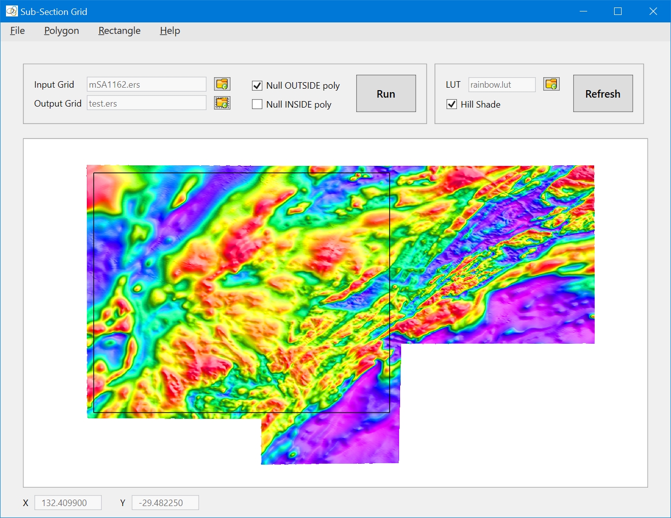
This tool facilitates the sub-sectioning of grids using polygons and rectangles. Use the File Icon buttons to specify the Input and the Output Grids. If you want to update the grid, use the same name for input and output. By default, after running sub-section once, the output grid will become the input for any further sub-sectioning. There is no limit on the size of the grids that can be sub-sectioned using this tool.
Quick Link: See Using GridMerge With Large Grids for an explanation of memory management in GridMerge.
Polygons can be digitised using the mouse, or loaded from file. Use the check boxes to specify whether you want to null inside the specified polygon/rectangle, or outside. The format of the polygon file is shown below: The first line is a header record containing "POLYGON_FILE", which identifies the file as a polygon file; the second record is an integer that specifies the number of (x,y) coordinate pairs that follow. Note that the number of polygon vertices is actually one less than the number of (x,y) coordinate pairs, as the last coordinate pair must be the same as the first.
POLYGON_FILE
5
130.0 -22.0
134.0 -22.0
134.0 -24.0
130.0 -24.0
130.0 -22.0
Zooming and panning are not supported for this tool.
You can view the output from this tool in the User Log file – File|View User Log File.